Survey programme extends the resource picture in northwest Argentina
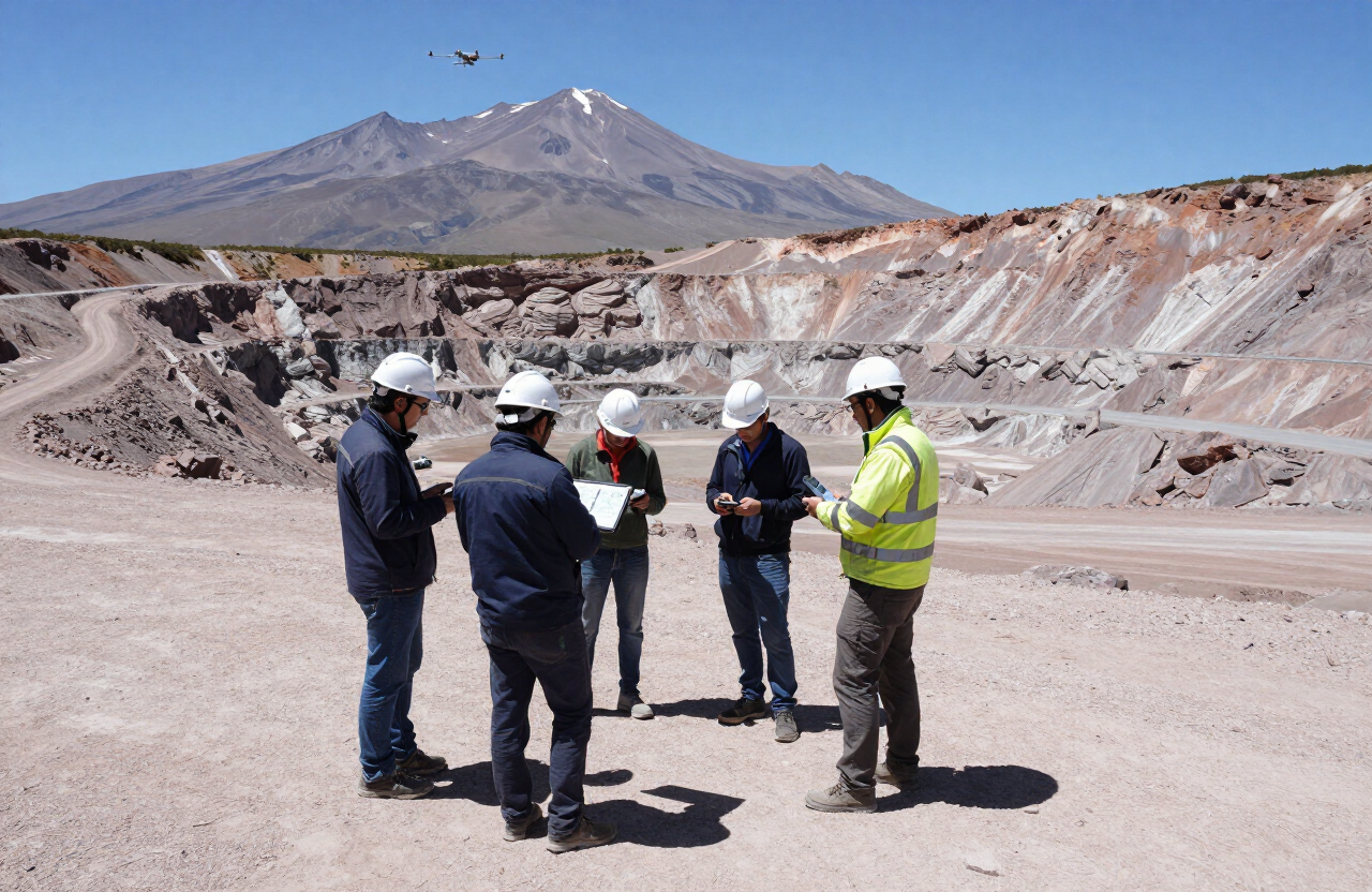
Advanced geological surveying across additional licence areas is sharpening our understanding of regional critical mineral potential.
Our geology teams completed a multi-month survey programme across additional licence areas in northwest Argentina, combining drone-based mapping with conventional ground truthing and sample assay work.
The objective was not headline tonnage but confidence: understanding grade distribution well enough to plan extraction sequences that do not require constant redesign. Data density in the surveyed areas is now sufficient to support preliminary pit and circuit planning.
Environmental baseline work ran in parallel, covering water, dust, and habitat data ahead of any development decision. That sequencing is standard practice for us — baseline data collected after a plan exists is far less useful.
Results are being integrated into the regional resource model held at our Jujuy operational hub.